
Arctic air to invade NJ Thursday: Big chill, cold wind on the way
By this weekend, NJ could experience its coldest temperatures since February/March.
February 15, 2016: the daily high temperature at Newark only reached 33 degrees
March 3, 2016: the high temperature at Trenton was 35
March 4, 2016: the high temperature at Atlantic City was 34
That's what we're up against, New Jersey, as the coldest air of the season (by far) arrives by late afternoon Thursday. Dead-of-winter cold. Almost dangerous cold.
Thursday morning has been chilly so far, as most of New Jersey has fallen to just below the freezing mark. Due to moisture trapped at the ground (from Tuesday's rainfall), some fog has formed as well. I've seen visibility down to a mile in spots - that alone won't present a huge travel problem for the morning commute. However, because temperatures are so cold, this qualifies as freezing fog, meaning the fog's water droplets may freeze to cold surfaces forming a thin layer of ice. Although heavy ice accretion is not expected, it doesn't take much to cause slippery "black ice" conditions through mid-morning Thursday.
Thursday is transition day for New Jersey, as arctic air knocks on our door and comes right in starting Thursday afternoon. Clouds will win the sky overall, and I'm not going to rule out a brief shower or snow squall at some point (key word "brief"). Temperatures will peak in the lower to mid 40s by early afternoon.
You'll feel a brisk wind pick up after about 2 p.m. Thursday, and that's when skies will clear as colder, drier air arrives.
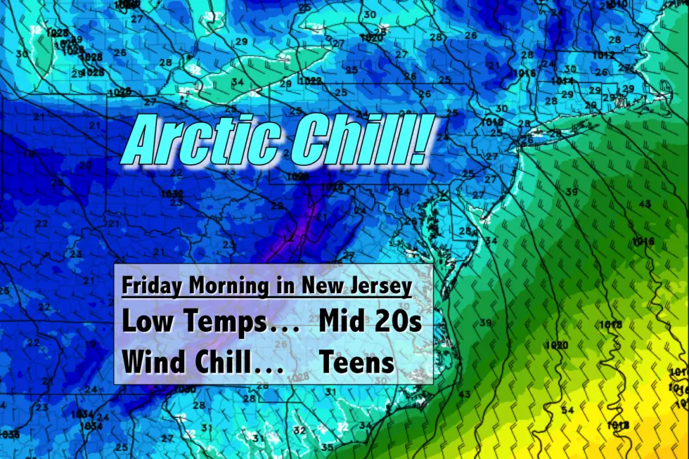
Thursday night, low temperatures will drop to the mid 20s for most of the Garden State. Of course, that doesn't tell the whole story, as the continuing brisk wind will add a significant bite to that cold air. The wind chill (or "feels like" temperature) will almost certainly be in the teens by Friday morning.
As the cold and blustery weather continues Friday, it's going to be a "winter coat" kind of day. Highs will only reach the upper 30s to around 40 degrees, at best. That's about 10 degrees below normal for early December. Of course, regular wind gusts to 35 mph will keep the wind chill even colder.
There's no warmup on the horizon either. The weekend just gets colder.
Even though skies will be sunny and winds will be a bit lighter (breezy, not windy), Saturday's high temperature will be limited to the mid to upper 30s.
Part of the state may touch 40 degrees on Sunday, with increasing clouds throughout the day.
Our next storm system comes into view for the second half of Sunday through the first half of Monday. I suspect the impacts of this system will be a complicated mix of snow and rain, with light accumulations (up to 3") possible for at least the northern part of the state. We'll keep you updated on the evolution of this system as it gets closer.
Beyond Monday, model agreement and consistency goes completely out the window so I can't even attempt details on the long-range forecast. There's another potential storm system in the Tuesday-Wednesday time frame. And another potential arctic blast around Thursday-Friday driving temperatures even lower.
Stay warm!
More From Beach Radio


