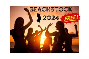
Beachstock Is The Largest Free Beach Party In America and It's Right Here in Margate, New Jersey
Well, this "unofficial" start to summer is just a couple of weeks away when we head into the Memorial Day Holiday Weekend on Friday, May 24th, so it's right around the corner and summer will be here at the Jersey Shore. Mil...
If you get to see these acts, don't expect the same show you saw 20, 30 or 40 years ago.
Just enjoy the fact that you still get to enjoy these guys. It's like hanging with friends from our youth, and just enjoying the company.
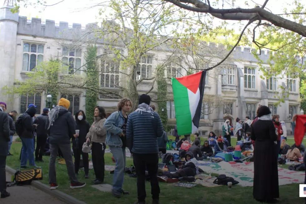
After an encampment was dispersed Thursday morning the protesters returned without their tents for a sit-in at the same Princeton University location and have remained ever since.